Difference between revisions of "File:TimeTerrainMap.png"
(Tavella uploaded a new version of "File:TimeTerrainMap.png": Cropped.) |
(Tavella uploaded a new version of "File:TimeTerrainMap.png": Captions and a teensy sandcastle.) |
(No difference)
| |
Revision as of 06:16, 22 July 2013
Blue patch is current sea, blue lines are rivers, dashed blue lines ephemeral rivers. Red star marks approximate location of Megan and Cueball's tribe. Green marks Beanie city. Black dotted line is Megball's initial path, brown the shortcut through the hills they intend to try. Red dotted line is best escape path to higher ground.
File history
Click on a date/time to view the file as it appeared at that time.
| Date/Time | Thumbnail | Dimensions | User | Comment | |
|---|---|---|---|---|---|
| current | 07:08, 22 July 2013 | 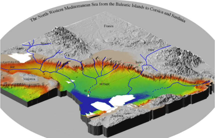 | 863 × 555 (516 KB) | Tavella (talk | contribs) | Making it larger so it is readable. |
| 06:54, 22 July 2013 | 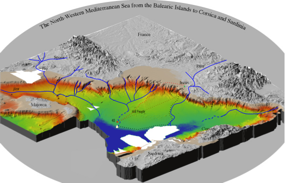 | 575 × 370 (243 KB) | Tavella (talk | contribs) | ||
| 06:16, 22 July 2013 | 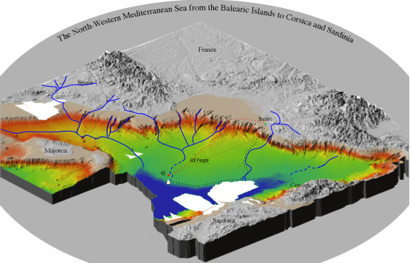 | 575 × 370 (243 KB) | Tavella (talk | contribs) | Captions and a teensy sandcastle. | |
| 04:51, 22 July 2013 |  | 575 × 370 (241 KB) | Tavella (talk | contribs) | Cropped. | |
| 04:47, 22 July 2013 | 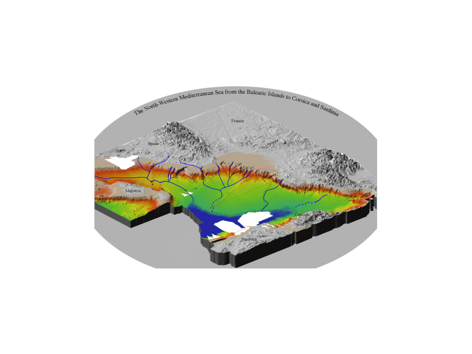 | 960 × 720 (244 KB) | Tavella (talk | contribs) | Blue patch is current sea, blue lines are rivers, dashed blue lines ephemeral rivers. Red star marks approximate location of Megan and Cueball's tribe. Green marks Beanie city. Black dotted line is Megball's initial path, brown the shortcut through the... |
- You cannot overwrite this file.
File usage
The following page links to this file:
