Talk:2887: Minnesota
Does NGS's request about "supple" have to be "rather than" commenting on the data? It could be in addition to it. Barmar (talk) 19:38, 29 January 2024 (UTC)
Where do I find the latitude and longitude gain or loss of arbitrary points not relative to the African Plate but to the rotation axis and whatever is the official longitude? Does the official prime meridian move every time the European plate moves or is it fixed to Greenwich Observatory? -- Oxygen (talk) 19:46, 29 January 2024 (please sign your comments with ~~~~)
- Based on IERS Reference Meridian article, I think I can answer that with definitive "maybe". I mean, it's not fixed to Greenwich (is actually 100m apart of it) but I wasn't able to decipher what exactly they are doing regarding tectonic shifts, just that they were thinking about it. -- Hkmaly (talk) 20:39, 29 January 2024 (UTC)
Personally, my go-to "other question" is "what is the square root of pi?". Tends to get a fun mix of answers. PotatoGod (talk) 05:50, 30 January 2024 (UTC)
- Rhubarb. (OK - it's not quite square, and it's a stem, not a root, but close enough, and it does make a damn good pie.) 172.69.194.36 09:27, 30 January 2024 (UTC)
- Not to be pedantic (or, to be self-pedantic, maybe this was indeed pedantry), but rhubarb is surely the square stalk of pie. Or you're eating it wrongly. 172.70.90.137 10:03, 30 January 2024 (UTC)
Probably unrelated, but I've seen several 'scare' articles over the weekend that say the Moon is 'shrivelling', due to its core cooling. Tend to say something like that it has shrunk by 330ft (without indicating over what time period, or relating that distance to the much larger general diameter such that it makes this not exactly a visible difference if you were to stare at any given bit of surface). The 'scare' is that it'll make it impossible to settle the Moon (due to selenological settling, ironically), especially at its (probably valuable) South Pole. Apart from it not being new info (LRO provided "the Moon has been shrinking 150ft over hundreds of millions of years" data, last decade; and that could even be the exact same thing, only quoted as a rough radius change instead of a roughish diameter one), there's also various ways of adding resiliance to reasonable surface changes (e.g. the current Halley Research Base used by the British Antarctic Survey) if you need to. Obviously the recent topical interest in landings (current and nearish-future) could have brought it up as a bit of 'current' news. Maybe it then filtered through to inspire the comic's premise (after searching for a sort-of-equivalent Earthly effect that was even more ripe for absurdist humour)... Likely not, but still thought it worth a mention, as a footnote. 172.70.86.68 15:02, 30 January 2024 (UTC)
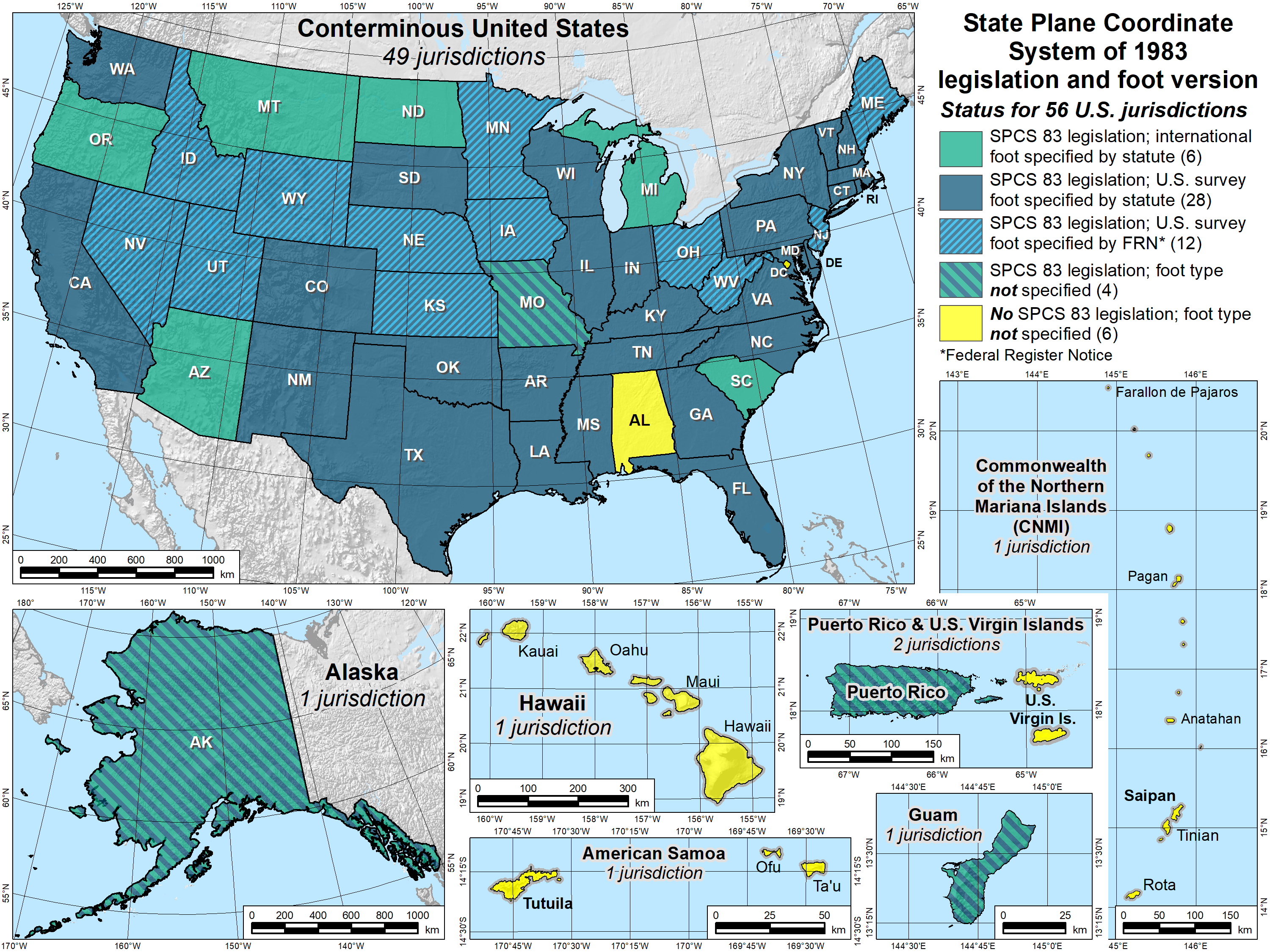
Problem with comics like this is that I've now gone from not knowing the word "geodetic" at all to wondering why Alabama is the only one of the 48 contiguous states without state plane coordinate system legislation from 1983. Davidhbrown (talk) 16:35, 30 January 2024 (UTC)
I think some more detail on the borders of Minnesota as legally defined would be useful, but I'm not sure I have the complete picture. As far as I've been able to research, the northern border (with Canada) is in part defined by geographical features, such as Lake of the Woods, so the rebound would be affecting it, but I'm not sure to what degree. The southern border (with Iowa), on the other hand, is defined as a line at 43° 30' N, which wouldn't be affected by rebound - in fact, it's plausible that the rebound would be pulling parts of Iowa into Minnesota. I don't think this marks any errors in the comic (which only states that that the northern border is moving towards the southern, not vice-versa), but some of the commentary may need to be tweaked or elaborated on. --Penguin Zero (talk) 02:56, 31 January 2024 (UTC)
- The image in the second panel clearly implies that the southern border is moving northwards as well.172.70.85.46 09:18, 31 January 2024 (UTC)
"All meetings should be about Minnesota until we resolve this" reminds me of something, maybe another XKCD. Maybe the "but someone is wrong on the Internet!" one. There's a infrequent theme of nerd-sniping or very specific issues hijacking normal business. Anyone remember this? Laser813 (talk) 16:25, 31 January 2024 (UTC)
The National Geodetic Survey asked him to stop using the word "supple" so often, which means they are ok with him using it from time to time. 172.70.91.12 14:44, 29 February 2024 (UTC) I literally lol'ed at "citation greatly appreciated". that said I assume actual citing of examples of erotic literature would NOT be appreciated by site mods. 162.158.154.207 23:16, 28 May 2024 (UTC)
I'm actually still confused as to how post-glacial crust rebound could make Minnesota smaller! Per Wikipedia (en.wikipedia.org/wiki/Post-glacial_rebound), post-glacial crust rebound is when a (heavy) glacier melts, and the rock layers of the ground below it spring back up. But... how would that make Minnesota *smaller*? (Asking, 'cuz I live in Minnesota.) -tr0gd0r -- Tr0gd0r (talk) 15:14, 27 August 2025 (please sign your comments with ~~~~)
- The land on which Minnesota sits is flexing. This flexing changes at what precise latitude the northern boundary lies, through a combination of how the 'flat' ground curvew round the Earth's geoid-like shape, perhaps some actual lateral movement (from the way the land around it is shifting) and possibly some slight alterations of the 'horizontal' making lakes and watercourses (loints on the shores of which define some of the boundaries) 'tip up' slightly to slightly inundate one side and similarly lower on the other (which, unless it has a vertical lip, shifts the water's edge up onto one bank and down away from the old bank on the other side).
- The southern border is said to be defined just to an absolute latitude, regardless of the land, meaning that any adjustment on the north edge, even if just by 'sliding' features going south, is not compensated for by a similar sliding at the south end (think of it as a penny-drop arcade machine, the edge of the land moves at the front but the back of the ledge is hard-defined by the 'wall' at the back of the machine that the ledge is moving into, making less 'shelf space' during that phase, albeit that's physical and not a measured line appearing to move, relative to the land).
- But it seems that there's also some flexing going on (at the continental level) that it sounds like is making the 'flat' distance between points change. This might involve uncrinkling the land sat to the north of the northern border, to add to the shoving 'underneath' the south-border line.
- How much change every little bit adds to the overall shift (or 'no shift',cdepe ding upon your chosen frame of reference), on the actual ground, would be a matter of calculation and then combination. Cueball's source of information (which is not necessarily entirely accurate, in-universe, all we know is that it convinces him...) seems to have done this and given the drift which can either be taken as the southern border moving north towards the 'feature-fixed' northern one or else the northern border moving south towards the 'coordinate-fixed' southern one. And maybe some crinkling/uncrinkling of the landscape, too. 82.132.244.158 17:01, 27 August 2025 (UTC)
I think I might have Cueball’s mentality except instead of Minnesota it’s HATSUNE MIKU: COLORFUL STAGE 《プロキシ》(XKCD addict) (talk) 19:13, 27 August 2025 (UTC)
